


")


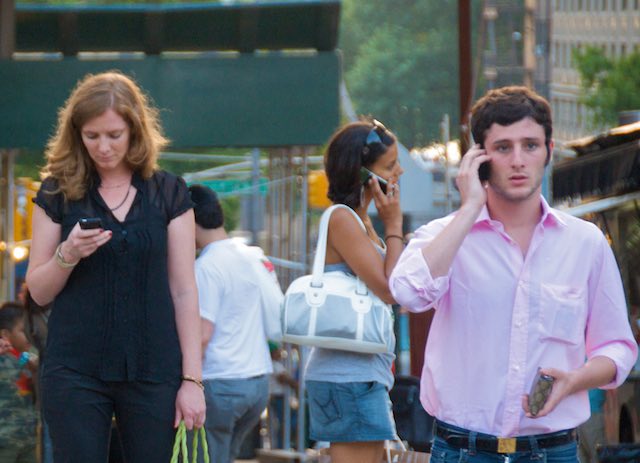
Your smartphone could save your life before disaster strikes. Researchers are turning smartphones and social media into early warning systems for earthquakes and floods.
In two separate developments, researchers have found a way to use smartphone GPS sensors to detect earthquakes and Twitter to track major flooding in real-time.
In the first case, NASA helped scientists to crowdsource the GPS in smartphones and tablets to measure sudden shaking in the ground. The phones then sent warnings to other phones farther and farther away. The early warning reached people several seconds before the quake’s tremors got to them.
“The speed of an electronic warning travels faster than the earthquake shaking does,” explained Craig Glennie, a report author and professor at the University of Houston in Texas.
Woman Invents Amazing Car That Wheelchair Users Can Just Drive Away
The system only works with major quakes, magnitude seven or higher, but if as few as 5,000 phones and tablets in a major city sense a tremor, that’s enough to send out an early warning — and buy people valuable time to take cover.
“Most of the world does not receive earthquake warnings mainly due to the cost of building the necessary scientific monitoring networks,” said U.S. Geological Survey geophysicist and project lead Benjamin Brooks, who published their findings in the journal Science Advances.
At the same time, researchers are using smartphones with a Twitter app to track major floods.
Disaster planners used tweets from two years of flooding in Indonesia to create real-time flood maps that could warn people of rising water and help them determine where to send rescuers and resources.
How Ocean Current Could Power Half the Homes in Florida
This speedy method can produce a map within around a minute of messages being posted, Deltares flood expert Dirk Eilander told Reuters.
People in Jakarta were posting 900 tweets per minute during February’s floods. Researchers used those pictures and descriptions to recreate what people were seeing, then plotted it onto a map. The amateur observations weren’t as accurate as professional gauges, but the descriptions matched professional measurements in two-thirds of the cases.
Disaster responders can use the maps to spot areas with the greatest need for response and to speed up recovery efforts.
Both the earthquake and flood warning systems are relatively inexpensive and put important parts of disaster preparedness in the hands — or pockets — of everyone with a smartphone.
Photo credit: Ed Yourdon, CC