 There’s no easy way to track all of the world’s crops. What’s missing, among other things, is an accurate map showing where they are.
But the people behind are hoping to fix that, with a game called Cropland Capture. They’re turning people like you and me into data gatherers, or citizen scientists, to help identify cropland.
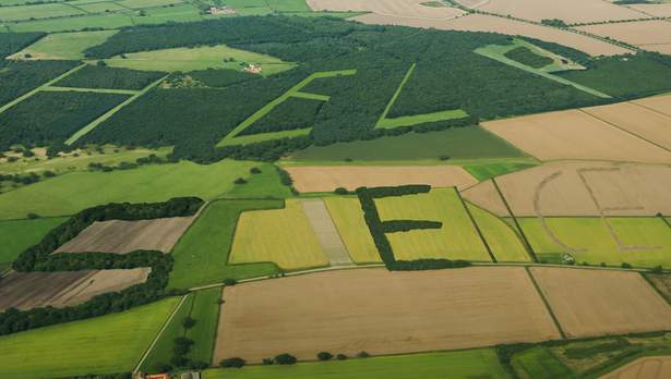
Here’s how it works: Go to the site, and you see a satellite image with the question, “Is there any cropland in this red box?” When I played it on my iPhone, it was pretty easy to tell whether I was looking at cornfields or a mountain range.
(READ more of the story from NPR)


