


")


A University of Houston scientist is helping reveal the world’s weakest bridges—and how to fix them before it’s too late.
In a study of 744 bridges across the globe, an international team found that by combining radar and satellite imaging into risk calculations, engineers can identify which bridges are at risk of structural damage long before such damage occurs.
Published in Nature Communications by lead author Pietro Milillo, the team says their method could close a significant gap in the understanding of the structural condition of bridges.
“We can significantly lower the number of bridges classified as high-risk, especially in regions where installing traditional sensors is too costly,” Milillo told University of Houston press.
The international team, including collaborators at the University of Bath in the UK and Delft Tech Univ. (Netherlands), used a remote sensing technique called Multi-Temporal Interferometric Synthetic Aperture Radar (MT-InSAR).
The researchers revealed it can complement traditional inspections by detecting millimeter-scale displacement on the structure caused by all the vagaries of time, decay, and nature. Such a solution could change how infrastructure is protected worldwide: monitoring bridge stability from space to detect problems before they become disasters.
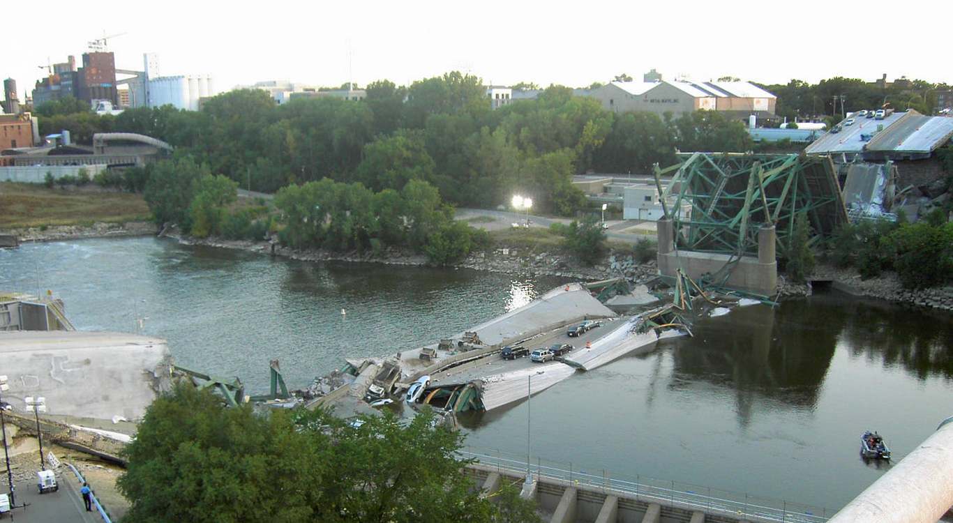
They also revealed that the structures in North America are in the poorest condition, followed by those in Africa. While North American bridges are in poorer shape due to most being built in the 1960s, they still benefit from visual inspections by trained professionals.
By contrast those in Africa or Oceania may be in comparatively better condition, but inspections are virtually non-existent.
In-person visual inspections of bridges can be subjective and expensive, while inspectors may miss signs of early deterioration between typical bi-yearly inspection cycles. Structural Health Monitoring (SHM) sensors offer a more cost-effective solution, but their implementation remains limited primarily to newer bridges and specific concern cases, with the study confirming that they are installed on fewer than 20% of the world’s long-span bridges.
SATELLITES HELPING OUT: Trees Can Warn Us When Volcanos Are Ready to Erupt–and NASA Satellites Can Read Their Signals
“Remote sensing offers a complement to SHM sensors, can reduce maintenance costs, and can support visual inspections, particularly when direct access to a structure is challenging,” said Millilo.
“For bridges specifically, MT-InSAR allows for more frequent deformation measurements across the entire infrastructure network, unlike traditional inspections, which typically occur only a few times per year and require personnel on the ground.”
MORE BRIDGE STORIES: NYC Innovation Sees Century-Old Bridge Replaced – at $93M Under Budget, Without Stopping Trains
Researchers found that incorporating data from MT-InSAR, particularly pixels with stable scattering properties known as persistent scatterers (PS), into risk assessments provides more accurate risk registers through uncertainty reduction, enabling better risk prioritization and maintenance planning.
By providing more frequent updates than typical visual inspections, this combined monitoring approach reduces uncertainty about a bridge’s current condition, leading to more accurate risk classification.
SHARE This Fantastic Way To Monitor And Protect Our Structures…