


")

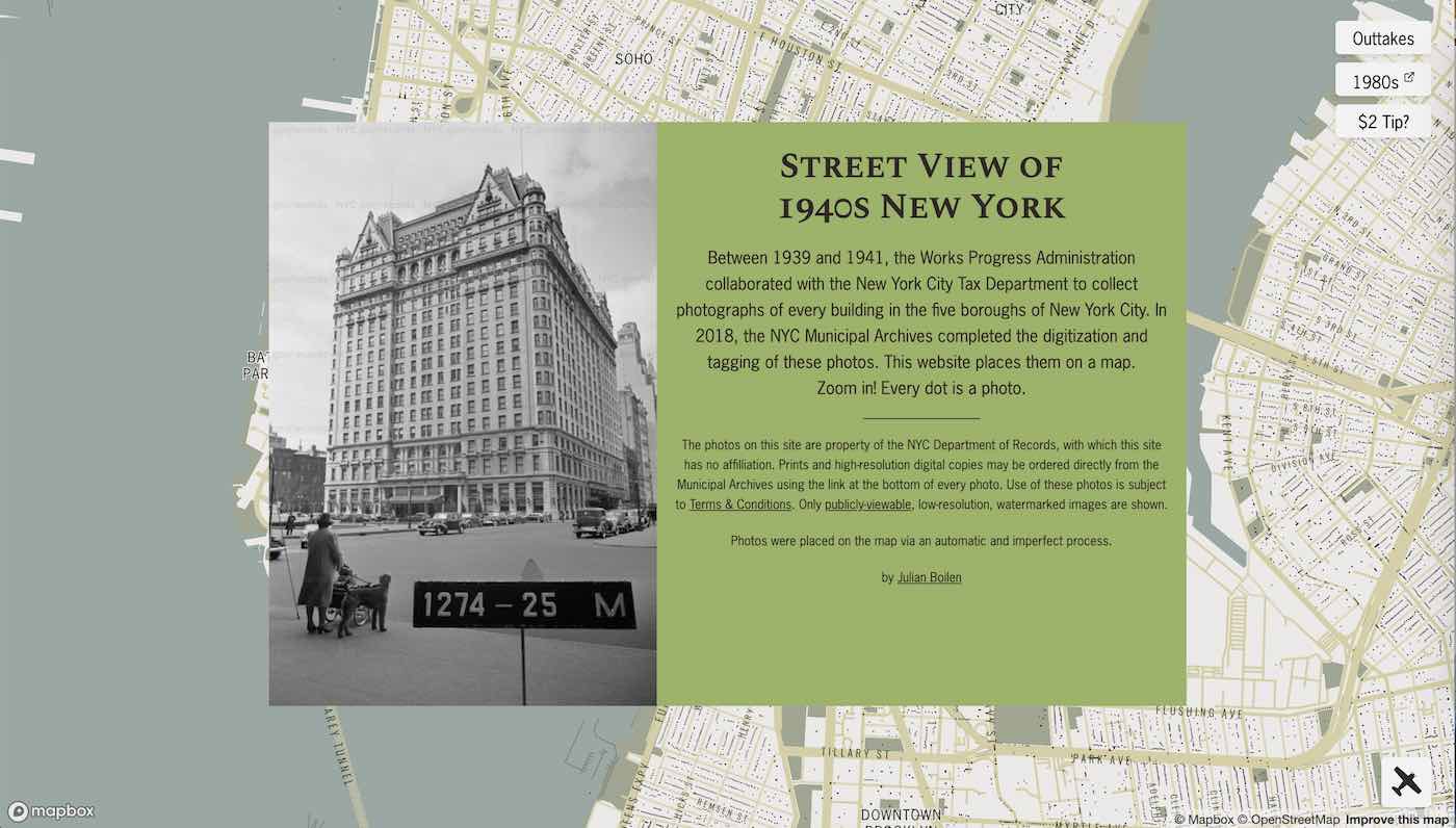
If you live in New York City and wonder what your address or neighborhood looked like eight decades ago, a new interactive map lets you see a Google Street View-style version of the city streets, buildings, and monuments around you from between 1939 and 1941.
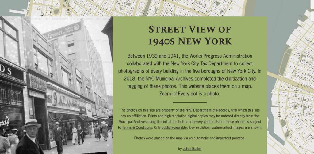
The views are based on exquisite black and white images from the period taken by photographers working for the WPA.
One of President Franklin Roosevelt’s jobs programs was the Works Progress Administration. It collaborated with the New York City Tax Department on one project to collect photographs of every building in the five boroughs of the Big Apple.
In 2018, the New York City Municipal Archives completed the digitization and tagging of these photos, allowing users to visit any spot in the city as it was at the dawning of the Second World War.
Now software engineer Julian Boilen has created the website 1940s NYC so you can roam those vintage images easily on your laptop or phone.
SEE: Illuminated Drones Create Beating Heart to Honor Healthcare Workers in Rotterdam Sky
The map you’re seeing here is riddled with black dots—each of which represents a photograph that will appear on your screen following a click.
We all have one of those friends who is enchanted by New York City—who just can’t get enough of its culture, flavor, and history.
Now they can revel in the old architecture, automobiles, and fashion of their favorite place with the particularly-intimate feeling of Google Street View.

And if they get lost in the Outtakes section pictured above? They won’t be the only ones.
SHARE This Fun New Map With The New York Fans in Your Life…