


")


Google doesn’t just use satellite data and machine learning to help you find Vietnamese food in the city you’re visiting, it’s actively protecting developing countries from flooding.
This August, the Chilean areas of Constitucion and Maule witnessed devastating floods that left thousands homeless, but many were able to gather critical belongings and evacuate because Google sent out warnings 2 days in advance of the flooding through their Flood Hub modeling tool.
Riverine floods, when heavy rains cause rivers to overflow their banks, happen all over the world all the time, and are a little like the unsung villain of natural disasters.
It was long thought impossible to predict these foods because of the number of factors beyond simple weather reports and forecasts, such as soil composition, topography, potential infrastructure failings, and so on.
“This was really kind of a moonshot, in a way,” said Yossi Matias, vice president of engineering and research at Google. “Can we use machine learning and other technologies in order to try to predict floods at some level of accuracy that would be valuable?”
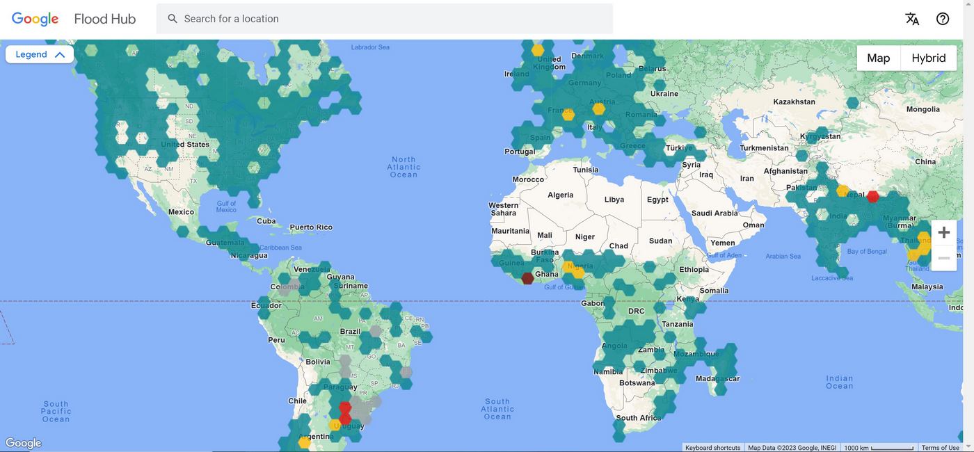
The answer is, since Flood Hub was launched in 2018 in India, yes, you can—very well in fact.
The baseline unit of analysis in the tool is thousands of detailed satellite images of waterways that can build a topographical understanding of the river’s course and gather scientific information on flooding rates, soil composition, history of erosion, and so on. This is then treated to a deep-learning program that creates flooding models based on the addition of weather forecasts and rainfall data.
The result is what they call their global hydrologic model, and has been in use across dozens of countries for the last five years, and was recently introduced in the US and Canada. This monsoon season in India and Bangladesh, Flood Hub sent out 45 million alerts.
“It allowed us to provide flood forecasting information even in places where the historical data is quite scarce,” Matias told Adele Peters of Fast Company Magazine, reporting on the tool.
OTHER SOPHISTICATED SYSTEMS LIKE THIS: NASA Technology to Map The Stars Could Now Help Save World’s Largest Fish
“For example, [we’re in] 23 countries in Africa, many of which actually don’t have enough data, but because we can learn the patterns of floods and then map them to places that have certain similarities, it allows them to get to the right level of quality that we needed.”
When Flood Hub predicts an oncoming flood, it has a variety of ways to send out alerts. Some countries receive alerts right on their phones similar to the Amber Alert system in the US, but in other cases it’s sent to government departments who may use their own lines of communication, even going so far as knocking door to door, or sending out WhatsApp messages.
MORE BIG TECH STORIES: Samsung Cuts Energy Usage of Their Computer Chips by 50% In Big Market Innovation
Google has also partnered with a disaster recovery NGO called Give Directly, which is pioneering a platform that allows them to send money directly to people who receive Flood Hub evacuation alerts, giving them funds to afford a relocation.
SHARE This Example Of Big Data Using Their Powers For Good…